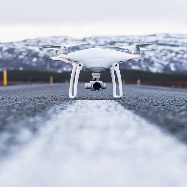
Revolutionizing Surveying and Mapping – The Soaring Impact of Drones

In recent years, surveying and mapping with drones have soared to new heights, transforming industries across the board. Among the myriad applications, one area that has witnessed a profound impact is surveying and mapping. Traditionally a time-consuming and resource-intensive task, surveying and mapping have been revolutionized by integrating drones into the process.
Precision and Efficiency

One of the key advantages of using drones in surveying and mapping is the unprecedented level of precision they bring to the table. The drones equipped with advanced sensors and imaging technologies can capture high-resolution aerial images and 3D models of the terrain below. This level of detail surpasses what traditional surveying methods could achieve and leads to more accurate data collection.
Moreover, drones significantly enhance the efficiency of the surveying process. They can now easily cover inaccessible or challenging terrains that would take considerable time and resources to survey manually. This speedier data acquisition reduces the time spent on fieldwork and minimizes the impact on the environment, making the entire process more sustainable.
Cost-Effectiveness
Drones offer a cost-effective alternative to traditional surveying methods. The operational expenses associated with deploying drones for surveying and mapping are generally lower than those incurred by manned aircraft or ground-based surveying crews. The reduced need for manpower and equipment and faster data collection translate into substantial cost savings for organizations and project developers.
Versatility in Applications
The versatility of drones extends beyond traditional surveying applications. They are now employed in various industries, including agriculture, construction, environmental monitoring, and infrastructure development. In agriculture, drones equipped with multispectral sensors can provide farmers with valuable insights into crop health, enabling more efficient resource management. In construction, drones aid in project monitoring, site planning, and creating accurate 3D models for better decision-making.
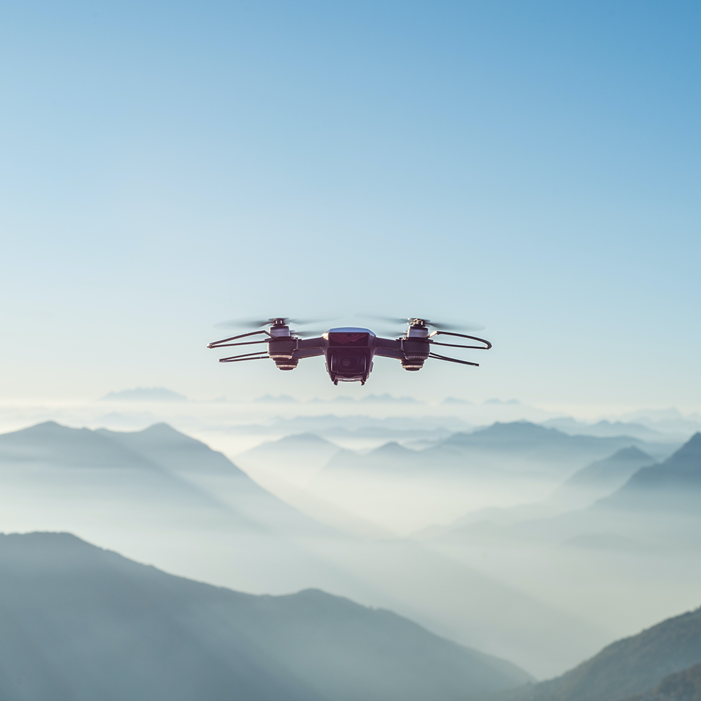
Enhanced Safety
Safety is paramount in surveying and mapping, especially in hazardous or hard-to-reach areas. Drones offer a safer alternative by minimizing the need for human presence in such environments. Whether surveying a steep mountain slope, inspecting a bridge, or monitoring a disaster-stricken area, drones can access locations that might pose risks to human surveyors. This not only safeguards human lives but also mitigates potential liabilities for organizations.
Overcoming Challenges
While the use of drones in surveying and mapping has seen remarkable advancements, it’s essential to address challenges such as regulatory concerns, privacy issues, and technological limitations. Adhering to local regulations, ensuring data security, and continuing to refine drone technologies are crucial steps in maximizing the benefits of this innovative approach.
Introduction of drones into surveying and mapping processes has ushered in a new era of efficiency, precision, and cost-effectiveness. As technology dynamically evolves, we can expect further refinements and expanded drone applications in these fields. The sky is no longer the limit; it’s the starting point for a new age of surveying and mapping.
Surveying and Mapping – Future of Drones

The integration of artificial intelligence (AI) with drone technology propels surveying into a new era. Drones can collect massive amounts of data, and AI algorithms can analyze and interpret this information swiftly. This not only enhances the accuracy of mapping but also opens avenues for predictive analytics, adding a layer of foresight to decision-making.
As we stand on the cusp of a new era in surveying and mapping, drones emerge as the catalysts for change. The precision, efficiency, and cost-effectiveness they bring to the table reshape the industry’s landscape. The integration of real-time data acquisition and AI-driven analysis propels us into a future where surveying is not just a task but a strategic advantage. Embracing drone technology is not merely an option; it is a pivotal step towards unlocking the full potential of surveying and mapping in the years to come.